El 1492 Colom arriba a Amèrica buscant una ruta a la Índia cap`a l’Oest.
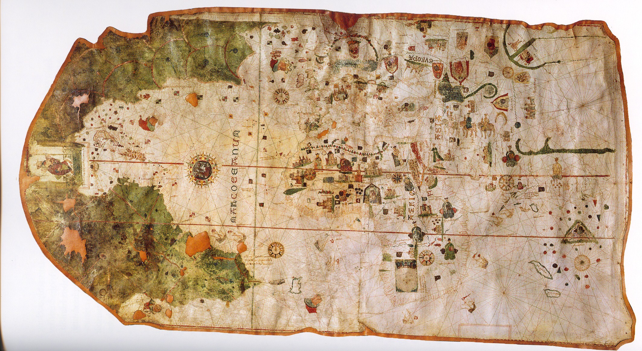
Juan de la Cosa farà el primer mapa del nou continent.
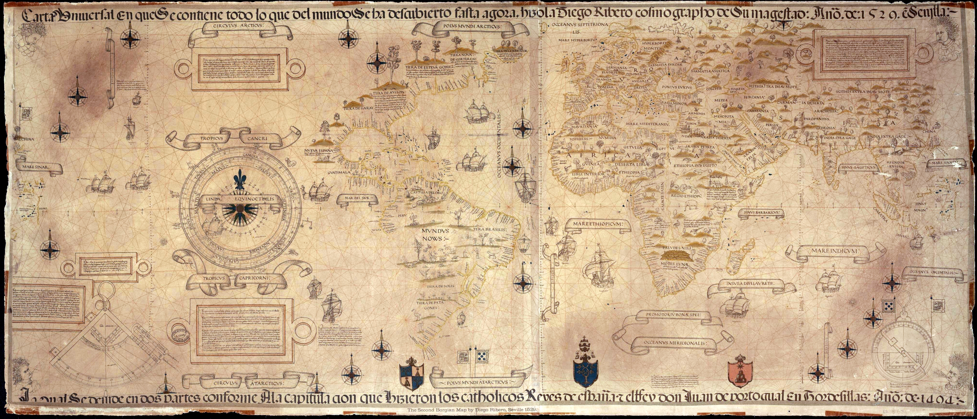
El 1529 Diego Ribero, treballant per al Padrón Real a Sevilla, a Portuguese cartographer working for Spain, made what is considered the first scientific world map: the 1527 Padrón real. The layout of the map (Mapamundi) is strongly influenced by the information obtained during the Magellan-Elcano trip around the world. Diego’s map delineates very precisely the coasts of Central and South America. The map shows, for the first time, the real extension of the Pacific Ocean. It also shows, for the first time, the North American coast as a continuous one (probably influenced by the Esteban Gómez’s exploration in 1525). It also shows the demarcation of the Treaty of Tordesillas.
Waldseemüller 1507
